Recreation
Chelsea is a Pure Michigan Trail Town. The beautiful 25,000-acre Waterloo Recreation Area is literally at Chelsea’s doorstep. You can experience the beauty of Michigan’s unique wilderness, wildlife and geological wonders in this protected area. There nature enthusiasts can hike, ski, or bike miles of trails, spend a sunny afternoon fishing on one of many lakes, or experience the spectacle of the migrating sandhill cranes. Golfers can choose from more than 20 lush golf courses, all within a 20-minute drive.
Additionally, adventure seekers can immerse themselves in the excitement of the Chelsea Trail Challenge, a thrilling event that invites participants to conquer a series of trails and scenic paths nestled within the picturesque landscape. Whether you're a seasoned hiker or a novice explorer, this challenge offers an unforgettable opportunity to test your endurance while marveling at the natural beauty that surrounds Chelsea. With various difficulty levels and breathtaking vistas at every turn, the Chelsea Trail Challenge promises an exhilarating outdoor experience for all who dare to embark on its trails. Click here to join the Challenge!


WOODS
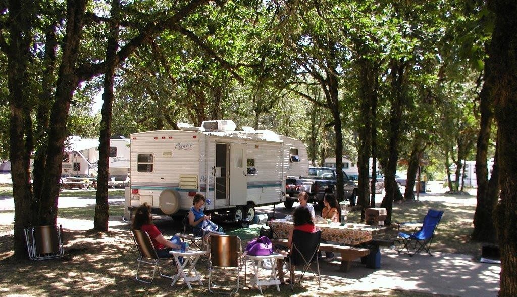
Tens of thousands of pristine wooded acres are right in Chelsea's backyard offering ample opportunities for rustic camping, rv camping, backpacking, cabinns and hunting!
- CAMPING-State Parks
- Blind Lake Rustic Hike-In Camping
- Bruin Lake Camper-Cabin
- Bruin Lake Modern Campground
- Crooked Lake Rustic Camping
- Glenbrook Yurt
- Waterloo Equestrian-Rustic Camping
- Waterloo Green Lake Rustic Camping
- Waterloo Green Lake Yurt
- Waterloo Green Lake Group Use Area
- Waterloo - The Pines Rustic Hike-In
- Waterloo Portage Lake Modern Camping
- Waterloo Portage Lake Camper-Cabin
- Waterloo Sugarloaf Lake Modern Camping
- CAMPING-Private
- HUNTING

WATER
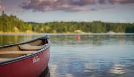
There are over 15 lakes within a 10 minute drive of downtown Chelsea that offer recreation opportunities for every age! There are 2 major State Recreation Areas close to Chelsea that offer several locations for paddle sports, fishing, boating and swimming.
- Waterloo Recreation Area
- There are public boat launches located on Big Portage, Cedar, Doyle (carry-down launch), Green, Crooked, Mill, Mud, Walsh, Sugarloaf (Sugarloaf campers only) and Winnewana lakes.
- A public beach is located at the Portage Lake Unit and is open 8 a.m. to 10 p.m. A beach is also located for registered campers in the Sugarloaf Campground.
- Fishing is a popular activity in the park. Bass, panfish and pike are common in the many lakes. Check the Waterloo Recreation Area page for more info.
- Row boats rental are available at Portage Lake. Rowboats, kayaks and canoes rentals are available to registered campers at the Sugarloaf Lake Campground.
- Pinckney Recreation Area
- There are improved boat launches on Bruin, Halfmoon, South, North, Joslin and Portage lakes. Unimproved ramps are located on, Crooked, Gosling and Hiland Lakes. There are hand-carry access sites onto Sullivan Lake and Pickerel Lake. The chain of seven lakes can be accessed from Bruin and Halfmoon.
- There are two public beaches, one at Silver Lake and one at Halfmoon Lake. The Bruin Lake beach is only open to campers.
- Pier fishing is available at Silver Lake and Crooked Lake. Shore fishing is available at Silver Lake.
- Boat rentals are available at Silver Lake beach and picnic area.

TRAILS
There are plenty of non-motorized, mountain biking and hiking trails to explore just outside of downtown Chelsea!
- Non-Motorized Trail - Border-to-Border Trail
- Dexter to Chelsea Corridor
- Freer Road to Lima Center Road (Phase 1) Now Open! 2.1 miles in long. Project Map for Phase 1 (PDF)
- Chelsea to Stockbridge Corridor
- Werkner Road at M-52 to the Green Lake Campground (Phase 1) 2.6 miles open for use! Please park along the Green Lake Campground access road (DNR Recreation Passport required) or in the City of Chelsea’s Veteran’s Park. Project Map for Phases 1 and 2 (PDF)
- Green Lake Campground to North Territorial Road at M-52 Phase 2 of the project above is 2.1 miles long and is anticipated to be completed mid 2020. Project Map for Phase 2 (PDF)
- North Territorial Road at M-52 to the Washtenaw/Jackson County Border (Phase 3). This project is 3.0 miles long and is anticipated to be under construction in 2020/21. DRAFT Project Map for Phase 3 (PDF)
- Dexter to Chelsea Corridor
- Mountain Biking
- DTE Energy Foundation Trail
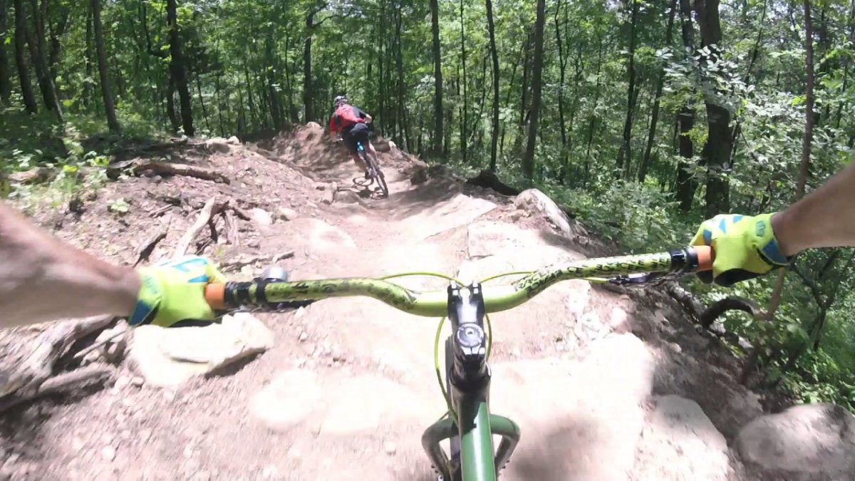
- 20+ mile mountain bike trail system in the Waterloo Recreation Area
- Potawatomi Trail
- 17-mile Potawatomi Trail, the 5.1-mile Crooked Lake Trail and the 1.9-mile Silver Lake Trail. The routes are shared with hikers. If you double the length of Pontiac Lake and replace the rocks with roots, you have Poto. Trails from 1.9 to 17.5 miles round trip.
- DTE Energy Foundation Trail
- Hiking Trails
- Waterloo-Pinckney Trail
- 33.9-mile, point-to-point trail that begins in the Waterloo State Recreation Area and ends in the Pinckney Recreation Area. The trail passes through Park Lyndon County Park, as well as kettle lakes, swamps, open meadows and eskers. Parts of the trail are open for mountain biking and horseback riding, while the entirety of the trail can be travelled on foot. Camping along the trail is also allowed on the trail, as completing the entire trail could take a number of days. Trailheads can be found at Portage Lake and Silver Lake.
- Waterloo Discovery Center Trails - 14.00 (Miles)
- Waterloo-Dry Marsh Trail - 0.50 (Miles)
- Waterloo-DTE Energy Foundation Trail - 10.00 (Miles)
- Waterloo-Equestrian Trails - 18.00 (Miles)
- Waterloo-Hickory Hills - 1.00 (Miles)
- Pinckney-Crooked Lake Trail - 5.10 (Miles)
- Pinckney-Equestrian Trails - 13.00 (Miles)
- Pinckney-Losee Lake Trail - 3.30 (Miles)
- Pinckney-Potawatomi Trail - 17.40 (Miles)
- Pinckney-Silver Lake Trail - 2.00 (Miles)
- Park Lyndon - 2.00 (Miles)
- West Lake Preserve - 2.22 (Miles)
- Baker Woods Preserve - 1.10 (Miles)
- Trinkle Marsh Preserve - .35 (Miles)
- Miller-Smith Preserve - .9 (Miles)
- Sharon Short Hills Preserve - .98 (Miles)
- Sharon Hills Nature Preserve - 2.2 (Miles)
- Clark & Avis Spike Preserve - .68 (Miles)
- Squiers Preserve - 1.07 (Miles)
- Koenn Preserve - Trail Length: .95 (Miles)
- Brauer Preserve - Trail Length: 2.25 (Miles)
- Oak Grove Cemetery Loop - Trail Length: 1.7 (Miles)
- Hospital Trail Loop - Trail Length: 1.75 (Miles)
- Big Green Square Loop - Trail Length: 2.3 and 2.9 (Miles)
- Pierce Lake Trail Loop - Trail Length: 3.7 (Miles)
- School Connector Loop - Trail Length: 2.1 (Miles)
- Timbertown Loop - Trail Length: 2.1 (Miles)
- North Neighborhood Loop - Trail Length: 1.5 (Miles)
- West Neighborhood Loop - Trail Length: 1.6 (Miles)
- Community Wellness Path
- Silver Maples Loop Length: .85 (Miles)
- Senior Center Leg Length: .25 (Miles)
- Interurban Rail Leg Length: .75 (Miles)
- Chelsea Retirement Community Loop - Trail Length: .5 (Miles)
- Robin Hills Farm Nature Trail - Trail Length: 3 (Miles)
- Waterloo-Pinckney Trail


